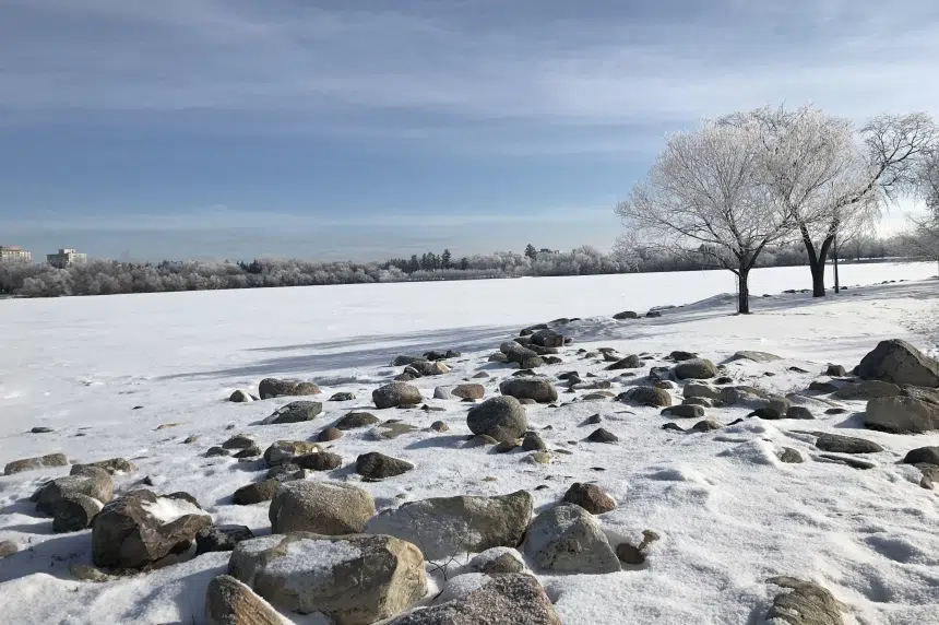
Hold on tight! Weather reminiscent of a roller-coaster ride is coming to southern Saskatchewan.
Environment Canada expects the high in the Regina area to reach 9 C on Saturday. That is the peak of the coaster, however, as a quick descent to the bottom follows.
Meteorologist John Paul Cragg said a low is passing through and another one will sweep up from the U.S., bringing temperatures well below normal for this time of year.
As of late Friday morning, Environment Canada was calling for Tuesday’s high to be -8 C and Thursday’s -11 C. There is a chance lows could reach -20 C or colder.
“Even with a low of -20 C, it doesn’t look like we’ll be getting anywhere close to those extreme wind chills that we need to put out an extreme wind chill warning,” Cragg explained.
The incoming winter blast is expected to last for a week or so.
Cragg said this system and following systems could bring snow.
“So it could be a more unstable pattern through the middle of March.”
Cragg pointed to the possibility of 5-10 centimetres of snow in the Regina area on Sunday and Monday.
“Because that pattern is set up, it looks like there’s potential for more snow continuing through the week next week and maybe even the following week as well.”