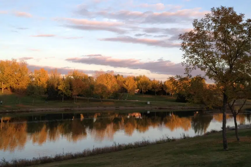
The weather to start off December will be the same as it was throughout November — warmer than usual.
At least that’s what the forecast from Environment Canada indicates. Meteorologist Terri Lang described Regina as having temperatures that were above average with only a trace amount of precipitation over the last month.
“That’s the one thing about the southern part of the province. It’s been dry. So it’s sort of that lack of snow that everybody’s noticing,” she explained. “It has been also on the warm side. Not record breaking by any stretch of the imagination but certainly warmer than average.”
The average November high is 0.1 C while the average low is -10.5 C. Lang said November 2015 saw the average high hit 3.6 C and the average low reach -6.6 C. The coldest day of the month was -17.2 C while the warmest was 14 C.
“It’s been warmer and I think people have certainly noticed that because A, they’re not shoveling and B, they haven’t really had to take out the Arctic gear,” said Lang.
In terms of precipitation, the average snowfall for Regina in November is 13 cm while 3 mm of rain falls, on average, during the month. This November, however, Lang said only a trace amount had accumulated, or in other words, the amount that fell was barely even enough to have registered.
This warmth trend is expected to last throughout the winter thanks to a strong El Nino, Lang insisted, but she’s unsure how much snow will fall as a result.
“What we might see though, if the temperatures stay warmer, maybe we’ll see more rain or more freezing rain than snow, just if the temperatures continue to be warmer,” she guessed.
Even in the short term, Lang is predicting warmer than average temperatures and little-to-no precipitation will persist.
“I have yet to see a forecast for more precipitation yet and another cold outbreak. It’s not yet on the horizon.”


