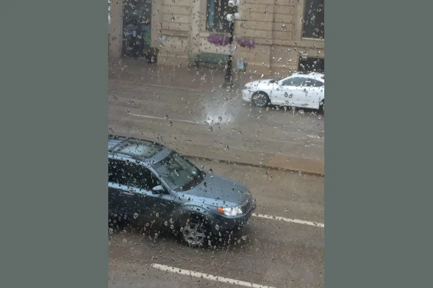
It is a rainy day across central and southern Saskatchewan, but certain areas are getting hit with a lot more rain than others.
Environment Canada has issued heavy rainfall warnings across the southwest and central parts of the province. The warnings stretch from the Manitoba border toward Melfort and Humboldt across to Saskatoon, Prince Albert and then south through Davidson, Moose Jaw, west to Swift Current and south to Cypress Hills.
Meteorologist Terri Lang says radar shows the heaviest bands of rain are sitting over Melfort and heading in a band southwest to Moose Jaw, Swift Current and Cypress Hills.
“That whole mass is just going to keep rotating around this big upper low. You can see on a satellite picture it just looks like a big cinnamon bun with all these showers and thundershowers that are swirling around it and some of these have quite heavy showers embedded in them,” she said. “So you can get very heavy amounts in a very short period of time.”
Lang says the worst of the rain should miss Regina, but thundershowers can pop up across the province with short periods of heavy rain. But the southwest is under a special weather statement because even regular amounts of rain could be a big problem in Estevan which is still water-logged from rain storms on Sunday.
The rainfall warnings are calling for up to 50 mm or 2” on Monday with accumulations between 70 millimetres and 100 millimetres or up to 4 inches by Wednesday morning.
The whole alley now flooded in #Watrous. Been raining hard for hours. #SKStorm pic.twitter.com/gUMlo0Eo7R
— Jared Brandes (@thejaredr) July 11, 2016
Manhole fountain in Moose Jaw #skstorm pic.twitter.com/wbMtmAYI4M
— SKFestival of Words (@FestivalofWords) July 11, 2016
It has arrived #skstorm pic.twitter.com/1U2hVBlWS6
— Michael Joel-Hansen (@mjhskcdn) July 11, 2016
Lang adds that there are also wind warnings out for many of the same areas and the potential for funnel clouds to pop up across the province.
“We’re trying to let people know to not panic when they see these funnel clouds because they’re not necessarily dangerous, most of them never touch the ground,” Lang explained.
While some funnel clouds may cause localized damage, she said these ones are not coming out of storm super cells that will cause significant damage.


