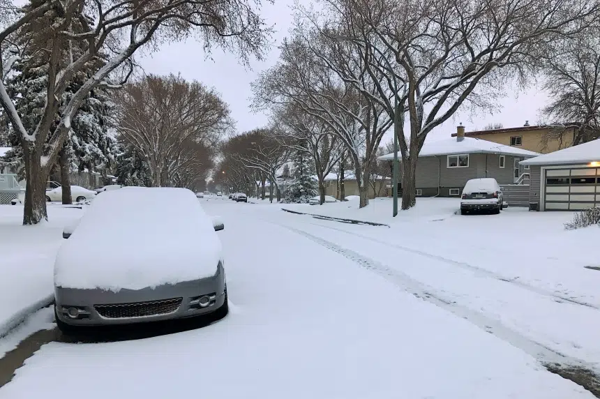
April showers bring May flowers, as the adage goes, but what about April snow?
Southern Saskatchewan, including Regina and Moose Jaw, woke up to a blanket of it Monday morning.
It began falling around 9 p.m. Sunday, accumulating to 13 centimetres of snow in Regina. Moose Jaw got closer to eight centimetres.
Environment Canada meteorologist Justin Shaer said people shouldn’t really be surprised by this spring weather.
“It may not happen every year but it’s not out of the ordinary by any stretch.”
Shaer noted that other parts of Canada had it worse Monday morning.
“It’s some snow, but there are areas getting hit worse further east into Manitoba.”
Parts of southern Manitoba were under a snowfall warning Monday morning with Environment Canada predicting they would receive around 20 cm.
“The five to 10 cm is okay, I guess, for this time of year in comparison,” Shaer said. “It’s a little bit of a rude awakening after relatively nice, early spring weather.”
While nothing is for certain, he said he couldn’t see any more considerable snowfall on the long-range forecast.
“It should be the last good, decent measurable snowfall, at least into early May,” Shaer added. “It’s hard to say past that. If some system decides to dive south from the Arctic and bring down some cold air with it, we could obviously get a blast of snow.”
Below seasonal temperatures
While Shaer expected the snow to taper off Monday morning, he said temperatures wouldn’t warm up until closer to next week.
“It’s not until later this week that we start seeing temperatures kind of approach what we’d say (are) seasonal averages for this time of year.”
Shaer said the average daytime high for this time of year is 15 C for Regina. But the city will see highs around the low double digits – and that’s not until the weekend.
And as to when Regina will stop dipping below zero in the evenings?
“I wouldn’t be planting tomatoes anytime soon,” Shaer said.


