If you want to go walking in a winter wonderland but don’t want to break your own trail through the snow in Regina parks, there’s now an app for that.
The City of Regina is launching an interactive map to show which park pathways are clear of snow.
“You can go on this interactive map, it’ll tell you whether it’s being maintained or not,” explained Ray Morgan, director of parks and open space for the City of Regina, noting that the map will also show how many kilometres of pathway have been cleared.
Morgan said there’s a responsibility to clear significant areas like the multi-use pathway or those around schools and businesses because pedestrians and cyclists use them to get to school or work.
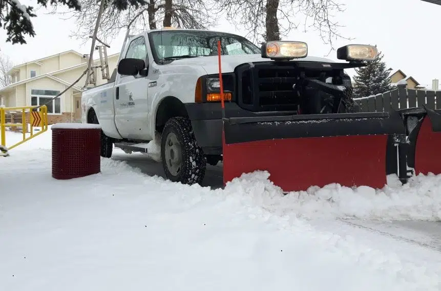
He added the city does try to get out with snow clearing equipment within 24 or 72 hours of a major snowfall.
Morgan also said the budget limits the snow clearing to about 88 kilometres out of the total 122 kilometres of park pathways that exist in the city limits.


