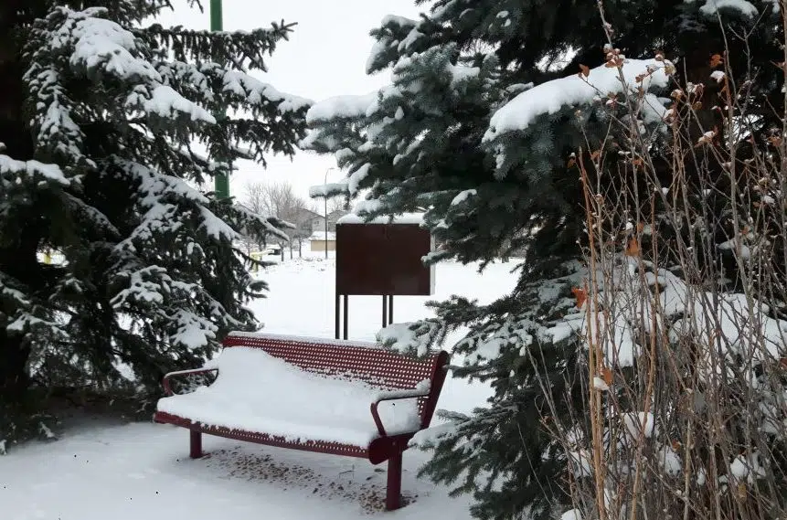
Good Friday may become great Friday for those who enjoy snow in southern Saskatchewan.
For most of Friday, Environment Canada had issued snowfall warnings, one day after issuing a number of special weather statements.
“The heaviest band of snow is expected to affect the Swift Current area and then move down to the southeast and into Assiniboia,” said Environment Canada’s Amanda Prysizney.
A disturbance out of Alberta moving to the southeast could bring as much as 15 centimetres of snow to those areas, which is nearly half a foot.
Closer to 5-10 cm of snow will fall in areas east and west of that band, said Prysizney, including Leader, Shaunavon, Moose Jaw and Estevan.
Regina will receive up to 4 cm.
Wind gusts of between 50 and 60 kilometres per hour are also expected.
She added the province will see temperatures that are well below normal, in some cases around 20 degrees off. Regina was forecast to have a high of -14 C Friday where the average would be +5 C.
“Spring traditionally is pretty volatile,” she said, with some days having temperatures well above zero and other days when snowstorms hit.
Prysizney said the snow will fall consistently throughout the day before tapering off and moving completely out of the province early Friday evening.
After that, she expects the weekend to be mostly free of snow, although she did note the possibility of Sunday evening snow in the southwest corner which could get clipped with a few more centimetres.


