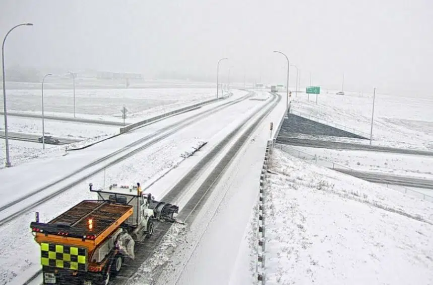
After a harsh cold snap across the province last week, Environment Canada is forecasting a more normal January for the upcoming week.
“We do have warmer weather than what was experienced over the weekend, weather that’s more normal for this time of year,” said meteorologist Justin Shaer.
For Monday, he predicted highs at or around -9 C or -10, along with “a bit of cloud and milder temperatures.”
He did caution that temperatures on Wednesday night will dip down; a cold front will cover the majority of the province and make its way into Manitoba.
“That’s gonna bring some scattered flurries with it and some gusty, northwest winds and some temperatures that will dip back into that frigid range Wednesday night and into Thursday,” he said, adding that snowfall amounts shouldn’t be more than two or three centrimetres, or less than two inches.
“The cold front intensifies as it gets into Manitoba, so Saskatchewan just gets away with a light dusting.”
Fellow meteorologist Sarah Hoffman added that, “overnight lows should be right around -20 C, which is right close to the normal as well.”
The weather agency is forecasting daytime highs ranging from -7 C (tomorrow) to -14 C (Wednesday) in Saskatoon.
Regina is expected to be -6 C tomorrow, while Wednesday is expected to be the coldest day of the week, at -12 C.
Then moving into the weekend, “temperatures seem to take an uptick,” Shaer said.


