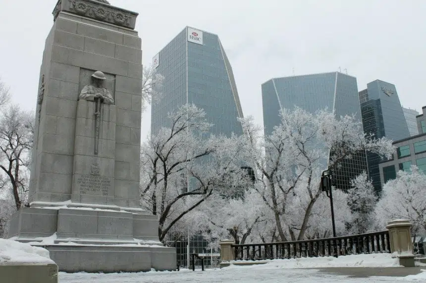
Saskatchewan’s swapping the extreme cold for snow.
Environment Canada meteorologist Terri Lang said back-to-back systems Friday and Saturday will bring between 10 to 20 centimetres, or four to eight inches, of snow in a line across Highway 16.
“The heaviest amounts will probably be closer to North Battleford, Lloydminster and maybe Saskatoon — all along there towards Yorkton,” Lang said, noting Regina could stave off the flurries for most of the weekend.
However, Lang noted, a third winter storm system will move up from Montana on Sunday, and it’s expected to clip the southeast corner — including Regina.
As for the rest of the south, she suggested people “keep the snow shovel handy” as a broad five to 10 centimetres, or two to four inches, of snow is forecast over the weekend.
Lang said a mixture of moderate prairie winds and periods of snow on and off over the next few days is the perfect cocktail for some greasy road conditions.
“The wind will probably be 20 to 30 kilometres per hour with higher gusts, so expect blowing and drifting snow out on the highways,” she advised.
Throughout the weekend, temperatures are expected to fall back to normal highs around -9 C and lows of -18 C.
But once the snow tapers off early next week, Lang said much of the province is expected to dip back into abnormally cold temperatures.
As of Friday at 3:45 p.m. the winter storm watch has ended for the Regina area, but still remained for most of the central Saskatchewan.


