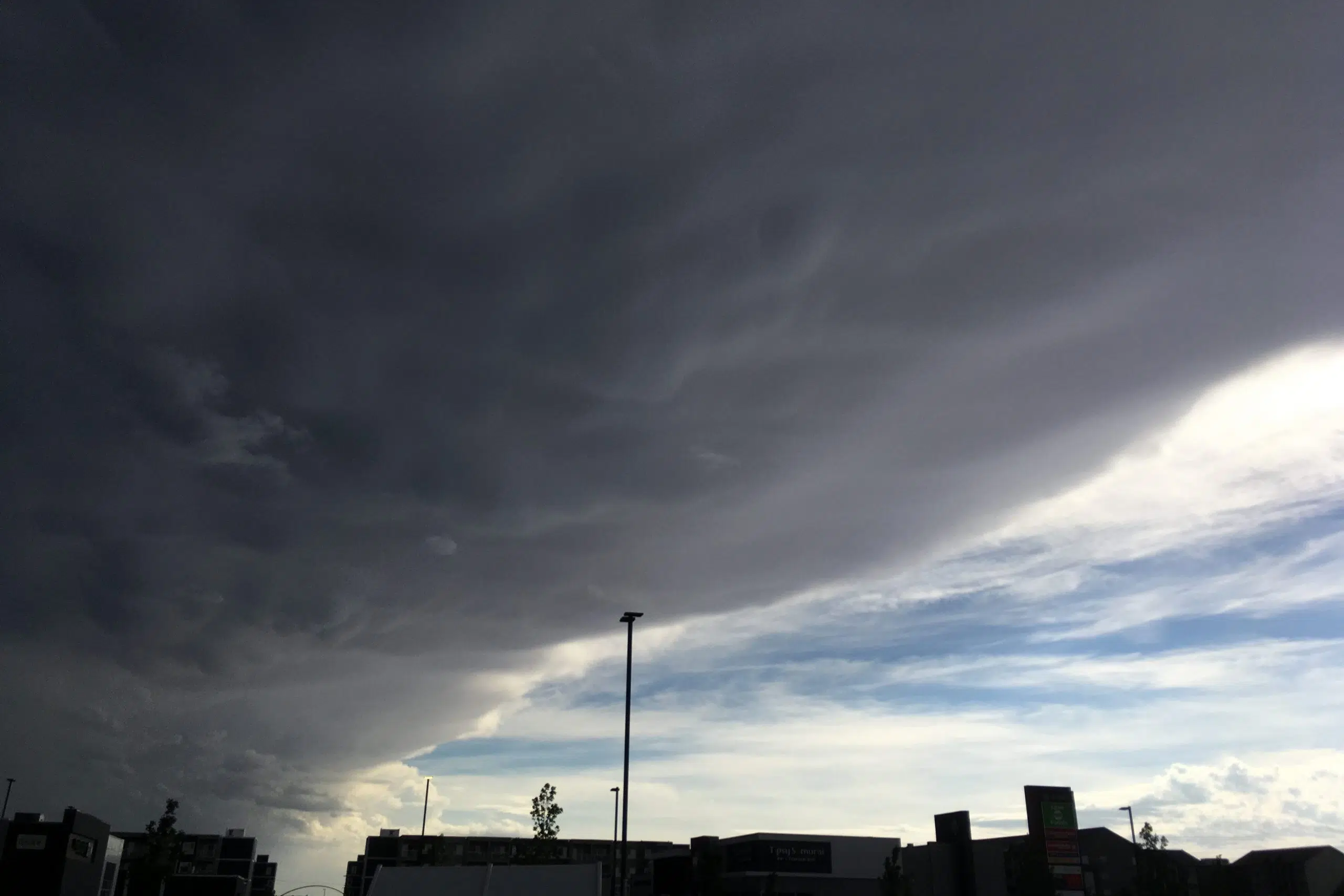
Saskatchewan’s storm season is in full force.
On Thursday afternoon, the southwest part of the province saw Environment Canada issue a mixture of severe thunderstorm watches and warnings, along with tornado warnings.
Meteorologist Roby Dyck says a low-pressure system moving in from Alberta is forming supercell thunderstorms that produce wall clouds.
“(The wall clouds) look quite low to the ground, and that’s part of the mesocyclone of the tornado; it looks kind of like a space ship, like stacked plates,” she described.
Dyck noted that, for southern Saskatchewan, the severe weather is forecast to stick around for the first half of the Canada Day long weekend.
“(The watches and warnings) should be extended, or more than likely will be extended, well into the Manitoba border area,” she said, adding the system is expected to move out of the province late Sunday.
Throughout the weekend, Dyck advises people to continue checking their local forecast and keeping their eyes on the sky — especially later in the day.
For those camping, she urges them to take shelter during storms.
“Usually, campgrounds have a bathroom — you can go take shelter in there,” she said. “If you can’t find a structure, take shelter in a ditch — and make sure you’re covering your head, so it can be sheltered from any debris flying around.”
For severe weather updates this Canada Day long weekend, visit Environment Canada’s Saskatchewan public weather alert page.


