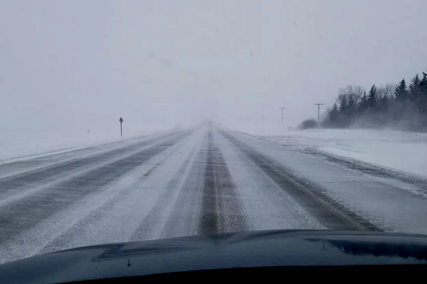
A slow moving winter storm is moving into southern Saskatchewan this weekend. It’s expected to drop a significant amount of snow in some areas and a mix of snow and rain in others.
The system is expected to hit the southwest corner of the province from Alberta and Montana Saturday morning. The snow is forecast to continue overnight, all day Sunday and into Monday.
As of Saturday morning there were winter storm warnings for the Cypress Hills, Shaunavon, Maple Creek and Assiniboia areas. Areas to the north, stretching from Leader, through Swift Current to Moose Jaw, are under a winter storm watch.
Environment Canada’s Mark Melsness said the Cypress Hills area could get up to 30 centimetres – or about one foot – of snow by Monday. Widespread accumulations of 10 to 20 centimetres are expected elsewhere across the southwest.
The storm will move northeast, making its way to the Moose Jaw and Regina areas by Saturday night into Sunday morning.
“By the time it gets toward Moose Jaw and Regina it will start to either be rain or mixed with rain as it starts to encounter a little bit of warmer air to the east,” said Melsness.
He said it’s possible the snow could accumulate in Regina depending on how fast it falls. The snow could melt on the warm ground as it changes to rain or could accumulate leaving to about 5 centimetres.
Areas to the north of Regina, including Wynyard and Humboldt are expected to see more snow, an estimated 10 centimetres, or about 4 inches.
The worst traveling conditions will be on Sunday into Sunday night with blowing snow, wind gusting to 70 km/h and localized whiteout conditions.
“It’s just a real mess of a system,” said Melsness.
As this system moves into the southeast corner of Saskatchewan, it’s expected to consist of mostly rain.


