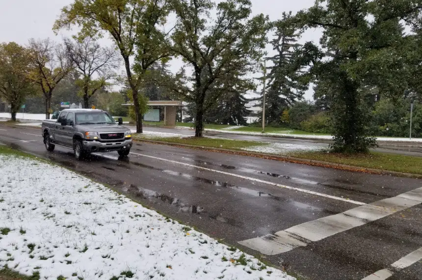
Saskatchewan experienced a few wet and snowy days before the calendar flipped to October.
In a tweet, Environment Canada and Climate Change Weather Saskatchewan said a strong Idaho low created winter storm and snowfall warnings on Saturday. The Western Cypress Hills area received 40 centimetres, or just over 15 inches, of snowfall by 8 a.m. on Monday.
Snowfall and winter storm warnings have just ended for southern Saskatchewan. A preliminary summary of snowfall amounts received so far in SK has gone up here: https://t.co/DW9jkFGnev #skstorm pic.twitter.com/GxJgLUG8My
— ECCC Weather Saskatchewan (@ECCCWeatherSK) September 30, 2019
Environment Canada meteorologist Dan Kulak said snowfall in the prairies isn’t uncommon for this time of year.
“It’s not an unusual event, but certainly we don’t always get big dumps of snow like some areas received these last few days.”
Kulak said elsewhere in the southwest region 10-15 cm of snow was recorded.
In the coming days, the province will be warming up, according to Kulak. Although that doesn’t shut the door on more snowfall accumulation.
“This is the time of year that the seasons are shifting. As we move further along into later October, into November, we have more and more likelihood of big dumps of snow,” Kulak explained.
He said Environment Canada does not track actual snowfall numbers, but were able to give an estimate based on what both Saskatoon and Regina received at the end of September.
Saskatoon accumulated 10 mm of snow and rain, while Regina received 13-15 mm of the mixture.
-With files from 650 CKOM’s Dominick Lucyk


