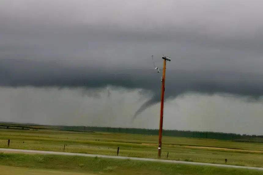
It was another night of severe weather in Saskatchewan Friday.
Environment Canada says a line of thunderstorms developed through the afternoon in southern Saskatchewan, moving east as the evening continued.
This included a few reports of funnel clouds, according to its meteorologist Brad Vrolijk. He says a few came in through the afternoon, but an unconfirmed tornado was also reported.
“Late yesterday evening, we got a report of a funnel cloud, or a potential tornado, near Bengough. We haven’t had a chance to confirm that at this point,” Vrolijk told 650 CKOM Saturday morning.
“We will look into it more today and see what we can determine as to what exactly happened there yesterday.”
He said there were no reports of damage as of Sunday morning.
Heavy localized rainfall, strong winds up to 80 km/h, along with hail also highlighted Friday’s storms.
Vrolijk says Bratt’s Lake came in as the wettest spot, reporting 35 mm of rain overnight.
Saskatchewan will get a break Saturday, but Vrolijk warned that there could be more unstable weather coming Sunday afternoon, and into the evening hours.


