


Murray Wood: What live and local seven days a week means
Murray Wood give a shout out to the hardworking news team for answering the bell when our listeners and readers need to ...
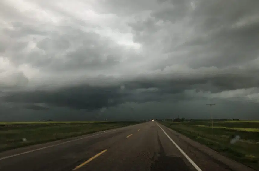
Saskatchewan could be a hot spot for bad weather Tuesday afternoon.
Environment Canada’s Mike Russo says a trough of low pressure will bring a threat of landspout tornadoes to east-central and southern Saskatchewan.
“As it moves eastward we’re expecting thunderstorms to develop mid-day and (they’ll) continue to generate throughout the afternoon,” said Russo.
“The best threat area would be pretty much east of Saskatoon right through to the Manitoba boundary.”
Russo said the same system could produce large hail and strong wind gusts in the southeast toward the international border.

Environment Canada’s storm outlook for the Prairies on Tuesday.
Tornado warnings were issued southeast of Lloydminster on Monday evening as a band of severe thunderstorms moved in from Alberta.
The warnings were ended just before 9 p.m. without any reports of a touchdown or significant damage.
The strongest recorded wind gust was 93 kilometres per hour in Lloydminster.


")
