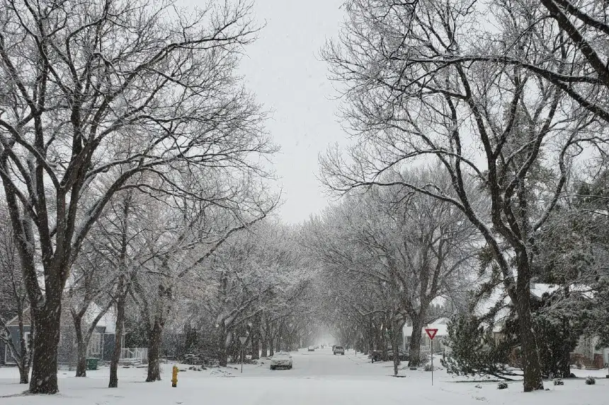
A lot of the white stuff could be coming to Saskatchewan, according to Environment Canada.
Natalie Hasell, a warning preparedness meteorologist with the weather office, says anywhere from 10 to 20 centimetres — or up to eight inches — of snow could blanket parts of the province starting Thursday.
“Luckily we’re not talking about extremely strong winds, so this will mainly be a snow event (and) not a blowing snow or blizzard event,” she said Wednesday. “But we will also see a risk of freezing rain in some parts of southwestern Saskatchewan.
“So by the time we get to the weekend, you could end up with quite a lot of snow.”
The snow is expected to start coming down in parts of Saskatchewan on Thursday afternoon and the storm isn’t expected to leave the province until Friday night.
Even though there aren’t blizzard conditions on the radar, roads could still end up getting pretty bad, according to Hasell.
“Those areas where we have that risk of freezing rain, we might be in a temperature range where instead of snow, we end up with stuff that’s kind of like wet, melty mush” she said. “Those areas won’t see accumulations to the same extent, but it’ll still be heavy and will definitely affect road conditions.”
Hasell said the system will be covering a very large area, including multiple prairie provinces.
“It’s a widespread one,” she said. “If you see snow, you won’t be alone.”


