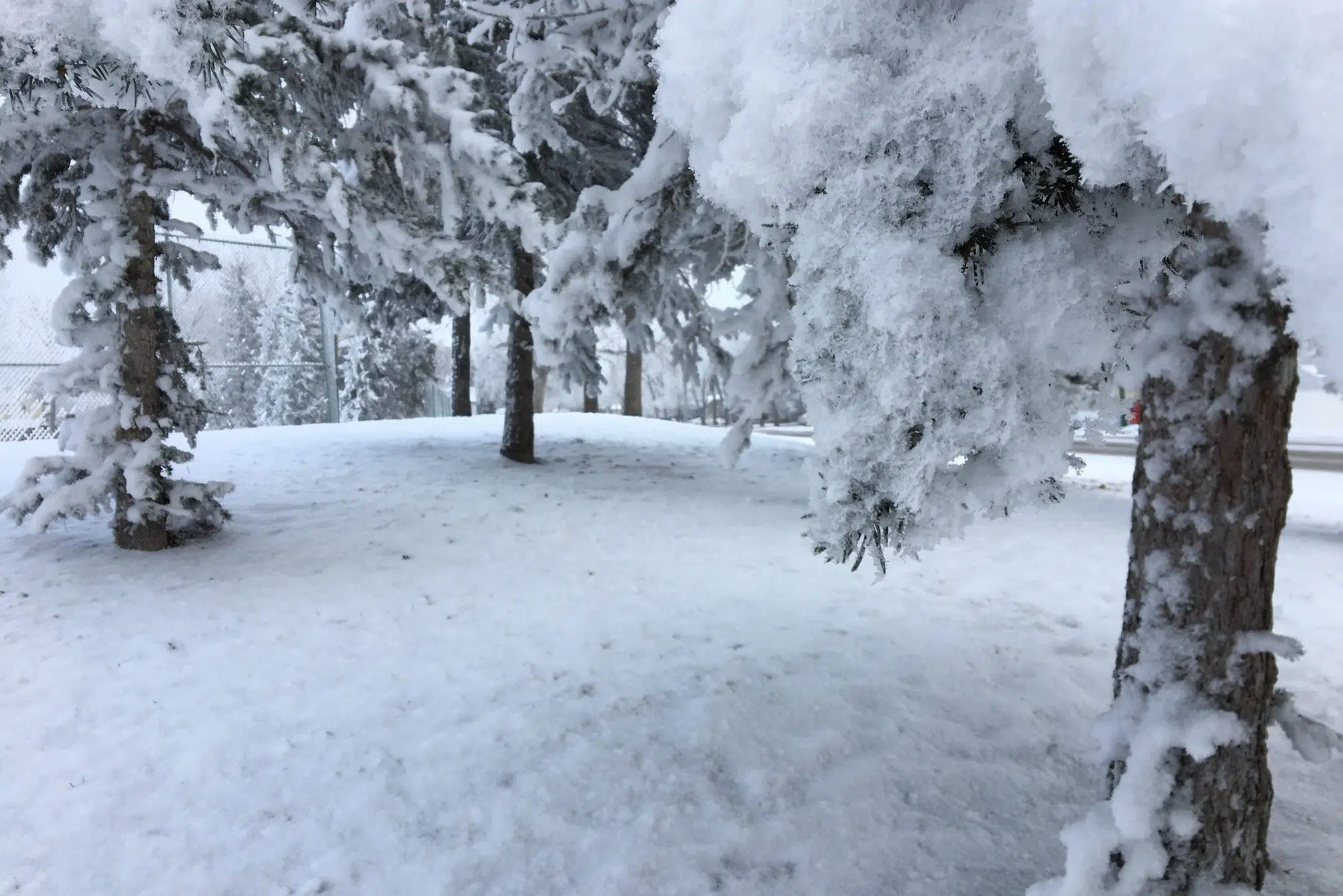
As expected, a spring blizzard was walloping parts of Manitoba and southeast Saskatchewan on Wednesday morning.
Environment Canada has said the storm has the potential to be historic, with up to 50 centimetres (or almost 20 inches) of snow expected to fall up until Friday in the region.
Kayla Bilous of the weather office said about 10 centimetres, or four inches, has fallen so far in parts of the southeast.
“We’re expecting about 30 to 40 centimetres more for that area,” she said. “The winds so far haven’t been too bad, but the visibility is just starting to become poor.
“We’re expecting visibility in the area to become quite poor today, with a lot more snow expected to fall. To have blizzard conditions like this in April, it’s kind of jarring.”
Blizzard warnings remained in effect in areas of the southeast, including Estevan, Weyburn, Moosomin, Grenfell and Carlyle.
Mayors of communities in the region along with the RCMP were recommending people in the southeast to not travel unless absolutely necessary as a result of the storm.
Multiple highway closures across southern Manitoba. Officers reporting whiteout conditions. Please stay off closed highways. Follow @MBGovRoads or https://t.co/TPZYTLI22d for updates. #rcmpmb #mbstorm pic.twitter.com/q6dB2tRFOV
— RCMP Manitoba (@rcmpmb) April 13, 2022
Lee Stanley, who farms by Gainsborough near the Manitoba border, says he and his family have been listening to the warnings.
He added the best thing they can do right now is to wait out the conditions.
“We like to make fun of the weatherman and their predictions. This was supposed to be a very bad storm (and) they got it right this time,” Stanley said. “It’s been probably 12 hours, and if this continues for 48 hours like they’re talking, it could be nasty in the southeast.”
During a conference call Tuesday, Saskatchewan Public Safety Agency president Marlo Pritchard suggested an old-school step people could take to ensure they’re safe.
“Residents in rural areas may want to string a safety line between houses and outbuildings,” he said.
Stanley said it was hard to tell how much snow had fallen in his area, but he knows there is a lot.
“I just saw a report from our local meteorologist in Minot, North Dakota. It’s close to 50 miles or so south of the farm here and they have got around 16 inches of accumulation so far,” he said.
“This is actually a blessing. We were so dry last year with the drought that we will take moisture of any kind, but I really feel for the producers that are out there taking care of their livestock right now.”
People in Estevan are definitely taking note of all the snow.
Scott Boulton with Discover Estevan believes the amount of precipitation on the ground right now is more than the region had all winter.
“It’s pretty intense out here,” Boulton said.
Shelly Schlamp, who works in the area, agreed.
“At times there is zero visibility,” she said. “It’s blowing and swirling. Everyone coming in has been saying it’s pretty bad out there.”
Winds gusting up to 90 kilometres per hour are expected to leave their mark, with conditions not expecting to get much better until Thursday evening.
Light snow will continue into Friday night before the system is gone by Saturday morning.
Still to come: Snowfall rates will continue to increase across the eastern Prairies and NW Ontario today, as strong northerly winds persist into Friday. #SKStorm #MBStorm #ONStorm
— The Weather Network (@weathernetwork) April 13, 2022
It’s not just the southeast that is expected to feel the impact of the storm.
The Saskatoon area is not expected to see much from the system, while Regina is expected to see up to 25 cm of snow along with strong winds up to 60 kilometres per hour at times.


