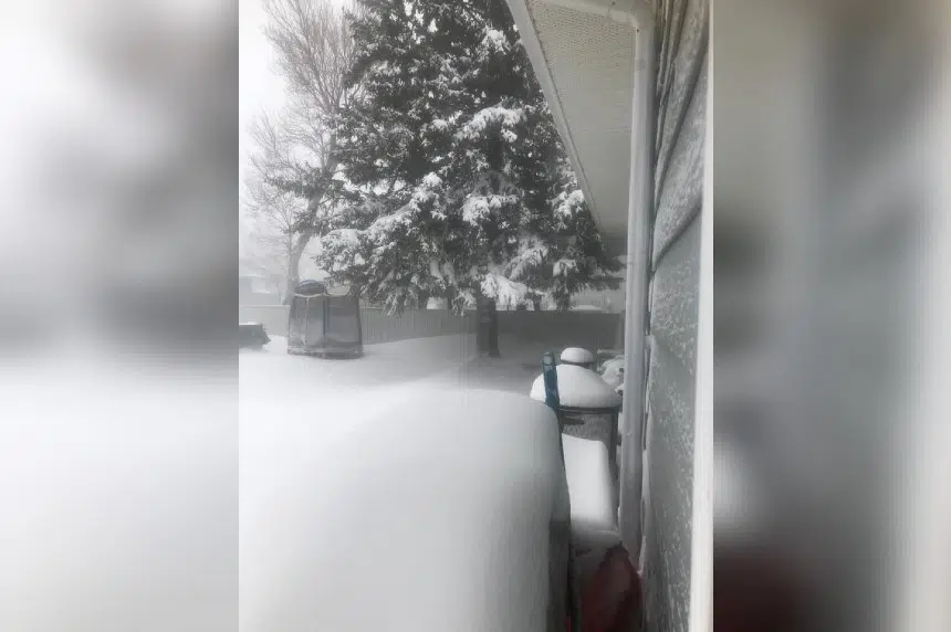
Friday morning, the last wisps of the monster blizzard were just lingering in southern Saskatchewan with some periods of very light snow here and there.
“Believe it or not, the main part of this system is now over Quebec and Atlantic Canada but there’s still some cloud from it stretching back into southern Saskatchewan,” explained Dave Carlsen, a meteorologist with Environment Canada.
The worst of the storm passed through the province on Wednesday and Thursday. Carlsen said areas around Estevan were hit the hardest, with 30 to 40 centimetres falling in some areas – although people in the area said high winds meant drifts stretched more than a metre high.
“For Estevan for the southeast, you get that kind of snowfall maybe once or twice per winter,” said Carlsen.
In Regina and areas to the south and southeast of the Queen City, Carlsen said between 10 and 13 centimetres of snow fell, which would be a run-of-the-mill snowfall.
Saskatchewan only caught the edge of the storm, though.
“It appears that most of the really heavy snow fell right on the Manitoba border and then in Manitoba and North Dakota,” said Carlsen.
Areas in North Dakota recorded as much as 75 centimetres of snow, while places near the Riding Mountains in Manitoba saw 82 centimetres of snow.
Some were surprised at the storm hitting in mid-April, but Carlsen said it won’t be the end of snow for the season in Saskatchewan. He said Environment Canada forecasts are calling for another system Saturday and into Sunday that could bring five to 10 centimetres of snow in some spots, and then another smaller system hitting early next week.
“It’s mid-April but we can still get snow well into May in this part of the country,” explained Carlsen.


