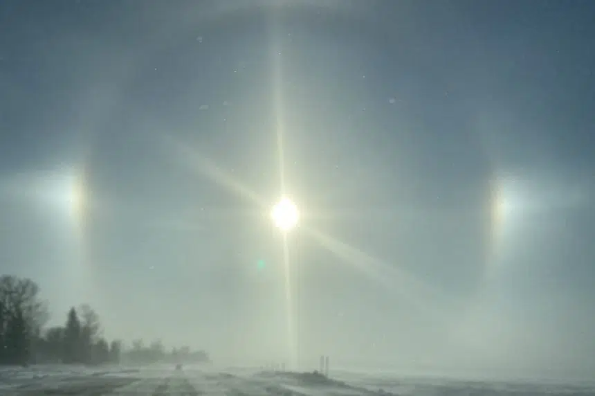
Looking across the province for the next few days, it could be a wild week of weather.
As of Monday, the forecast for Friday in Saskatoon was a high of 17 C while the high in Carlyle, a little under five hours away, was just 5 C.
Terri Lang, meteorologist with Environment Canada, said there could be a few reasons for that.
One was the snow sitting on the ground in the southeast compared to Saskatoon, and the snow bouncing away a lot of the energy brought by the sun.
“Until all that snow melts, the temperatures will probably stay a little bit subdued down there where all the snow is,” explained Lang.
The other reason could be the clouds that might be hanging around in the southeast on the weekend. Lang said there would be precipitation on the way for that area — rain turning into snow.
However, Lang said it’s not for sure.
“The weather models haven’t come together and gotten an absolute solution yet, so it bears watching,” said Lang.
“A shift in the path of these systems means the difference between getting 40 centimetres of snow and absolutely nothing.”
There was one system Lang said was set to come through the province from Tuesday into Wednesday. She said it could bring rain to much of southern Saskatchewan, while areas more east and east-central could see some wet snow.
Looking further ahead, Lang said over the next 10 days the forecast was still pretty variable, but she did say May was looking average.
“That doesn’t mean it won’t get warm, that doesn’t mean it won’t get cold, it just means that at the end of the month when you average everything through, temperatures will be close to, sort of, seasonal temperatures,” said Lang.
She also said May is looking like a bit of a drier month, which could be good for farmers getting out for seeding but bad for those who need more moisture in their fields.


