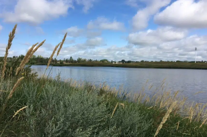
The threat of flooding in southeastern Saskatchewan — a notion raised after severe spring snowstorms hit the area — has receded.
The Water Security Agency (WSA) said Tuesday the spring melt and runoff is pretty much complete in the southern half of the province and any concerns of flooding have been eased.
“Flows along the Souris River have peaked and are beginning to drop,” the agency said in a media release. “WSA expects the Grant Devine reservoir (near Oxbow) will fill later in May at around the same time apportionment releases to meet international obligations begin.”
The WSA said the southwest got higher-than-expected runoffs this spring and some storms improved the moisture and water supply conditions. However, the agency noted runoff in the area was below normal, as are current water levels in Lake Diefenbaker.
In the east-central region, the warmer weather has almost completely melted the snowpack and flows in many rivers in the area have peaked. But the WSA said the Swan River is still rising and additional rainfall could result in higher water levels and, potentially, localized flooding.
The melt and runoff is nearly done along the Qu’Appelle River system and flows are receding over lower areas. The WSA has diverted flows into Last Mountain Lake to get it to desirable summer operating levels, while Crooked Lake already is at that level.
The melt is in its early stages in the north and into the Churchill Basin, but the WSA doesn’t expect any runoff-related issues in those areas even though they got higher-than-normal snow accumulation over the winter. The agency warned the speed of the melt and any additional precipitation will affect the runoff in that region.


