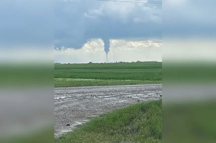
What Environment Canada called “an unstable airmass” in the Saskatoon area resulted in severe thunderstorm warnings and watches Friday morning — and a possible tornado near Allan.
Meteorologist Terri Lang confirmed the weather service had received reports of a funnel cloud that may actually have been a tornado.
“From different angles, it looked like it was a funnel but from other angles, it looked like it did touch down,” Lang said. “We’ll keep investigating on that.
“It looked like it was brief and we haven’t had any reports of any damage.”
Angie Rolheiser of northeastNOW tweeted a picture of the funnel cloud.
Funnel cloud reported in Allan, SK just a few minutes ago #storms @environmentca pic.twitter.com/ugToZaotMz
— Angie Rolheiser (@Angie_Rolheiser) July 15, 2022
Lang said the timing of the funnel cloud was strange.
“We don’t tend to get tornadoes (or) funnel clouds this early in the day,” she said. “It’s not unprecedented, but it certainly is rare. We usually get them forming later on in the afternoons.”
At 5 p.m., a severe thunderstorm warning was in place for regions around Outlook, Watrous and Hanley.
Severe thunderstorm watches were in effect for other areas of Saskatchewan.
The weather service said the thunderstorms could produce high winds, hail and rain.
“We are expecting other thunderstorms to form, but of course we don’t know exactly where they’re going to form,” Lang said. “It’s kind of like trying to figure out where in a boiling part of water the next bubble is going to come up.”
More information is available on the Environment Canada alerts page.


