


Murray Wood: Remembering the Rev
Michael Zaplitny loved radio, his family and his friends. Not necessarily in that order. Murray Wood says the people who...
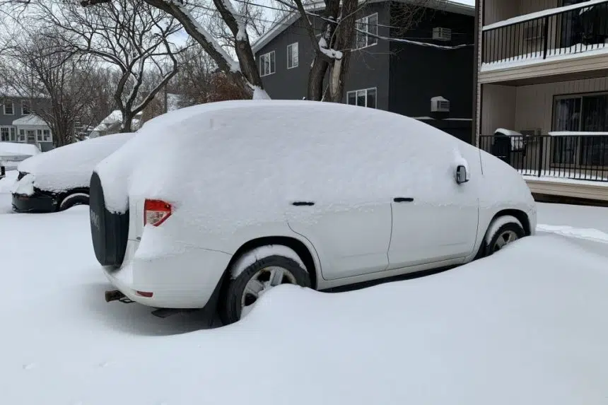
Environment Canada is calling for up to a foot of snow to fall in some areas of Saskatchewan by the weekend.
The weather service issued a special weather statement Monday afternoon for areas around Regina, Fort Qu’Appelle, Indian Head, Lumsden, Weyburn, Estevan, Kamsack, Moosomin, Grenfell, Yorkton and Melville.
It’s all part of a Colorado low moving into the region Tuesday night.
“With the above-seasonable temperatures in place as the low pressure system approaches, the snow is expected to be a heavier wet snow,” the statement read. “The worst conditions are expected to be in the communities along the international border.”
The weather service said “a hang back area of snowfall” will stay over southeastern Saskatchewan as the system moves east. By the end of the week, most accumulations will range from 10 to 20 centimetres, with some areas getting as much as 30 cm by the weekend.
Environment Canada said conditions should improve Friday into Saturday, but the snow will be followed by another surge of Arctic air.
More information is available on the Environment Canada alerts page.


")
