


Murray Wood: Who's hot... and who's not
Every Friday, Murray Wood takes a look back at the week's news and decides who's hot... and who's not. This week's list ...
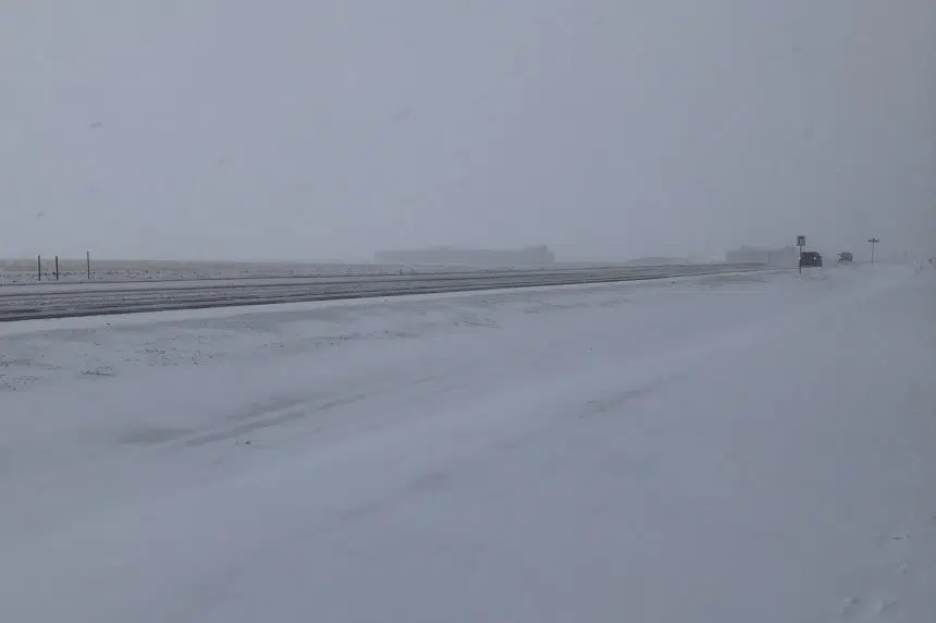
Snow is in the forecast for Regina and parts of southern Saskatchewan on Wednesday, but snowfall warnings aren’t — at least not yet.
Environment Canada meteorologist Eric Dykes said early Wednesday morning that snowfall warnings are issued when at least 10 centimetres of snow are expected to fall in a 12-hour period. Those criteria aren’t expected to be met as a Colorado low hits the southern part of the province.
“We’ve got lots of five-to-10 (centimetres) and two-to-fours in the forecast with this system and that’s the reason why we have a special weather statement out in lieu of a snowfall warning, just because of the fact this is a prolonged snow event that will have some impacts for travel and other means (of transportation) over the next couple of days,” Dykes said.
That said, Dykes admitted snowfall warnings could still be issued Wednesday for the areas where the heaviest snowfall is expected. He said the longest duration of snow is expected in the Estevan-Weyburn area, but there will be more accumulation in other spots.
Some areas are still expected to receive between 20 and 30 centimetres of snow by the weekend.
Dykes said the westernmost edge of the storm was just east of Regina on Wednesday morning, but the snow was expected to push to the west as the day progressed.
“Regina might, in fact, really get out of the accumulations after (Wednesday night) and areas around the Queen City,” Dykes said. “Otherwise, further southeast of Regina, you might still see some residual snow falling on Thursday as well as some moderate winds out of the northwest that might produce a bit of local blowing snow.”
Asked if things were going to be clearing in Regina earlier than was predicted earlier in the week, Dykes said he wasn’t sure — mainly because Environment Canada’s models are saying different things.
“They’re really having a bit of an issue trying to determine where exactly the western edge of this precipitation is going to end up being, and for how long,” Dykes said.
“What we’ve done is we’ve taken a look at all of them, looked at an ensemble approach and said, ‘Well, the snow looks like it’s going to be continuing from the east towards the west (Wednesday), sticking around the southeast portions of the province (Wednesday night) and, for the most part, starting to abate from west to east as we go through the day (Thursday).”
One thing Environment Canada is sure of is the cold front that will follow the snow into Regina.
Dykes said the normal daytime high for the Queen City at this time of year is -9 C. The forecast is calling for a high of -15 C on Saturday and a high of -18 C on Sunday.
— With files from 980 CJME’s Shane Clausing


")
