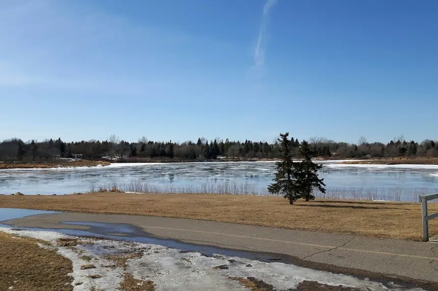
The snowstorm that blew through southern Saskatchewan earlier this week was a headache for many and the cause of many road closures.
But for the Water Security Agency (WSA), the storm wasn’t too great a cause for concern in terms of water runoff.
“What we’re seeing is with cooler temperatures forecast for the next several days, that will really help with the runoff. It’ll help slow it down and keep it in channel,” said WSA spokesperson Sean Osmar.
“And with the higher temperatures we saw earlier last week, that has thawed out a lot of the soil as well. So we’ll start to see some of that water seep in and soak into the soil. So with those two factors combined, we’re not expecting to see any significant runoff events.”
Osmar said the agency will continue to monitor the situation and will provide an update should conditions change.
“The way it looks right now, we’re not expecting to see anything out of the ordinary or too substantial,” he said.
Osmar said the WSA is keeping a close eye on regions of the southeast where the snowfall hit the hardest.
“But we had had some capacity in the reservoirs to hold additional water and runoff if needed, as well as further south in the United States, where conditions there are starting to clear out,” Osmar said.
“We’re going to be able to start moving some of our water through some of our apportionments down through the United States to continue to clear up capacity in the channels there.”
Osmar said the WSA expects to see levels in the Qu’Appelle Lakes peak at the lower end of the range the agency predicted earlier this month with its runoff forecast.
“Last Mountain Lake might be the only outlier that might be near the upper end of the range but so far, it looks like everything is going fairly well and we don’t expect to see any changes right now,” Osmar said.


