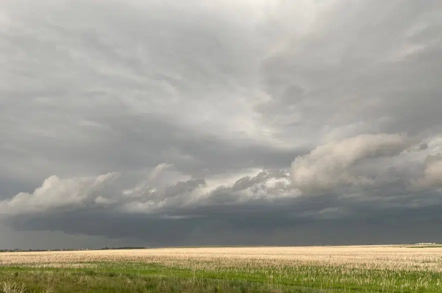
In what seems to be a daily occurrence, Environment Canada issued thunderstorm advisories for areas of Saskatchewan on Thursday.
Just after 12:15 p.m., Environment Canada issued a severe thunderstorm warning for the Preeceville and Sturgis areas. A subsequent advisory extended the warning to Norquay, Stenen and Swan Plain.
The warnings were all cancelled before 2 p.m.
The warnings were preceded by severe thunderstorm watches for a number of areas, including Carlyle, Stoughton, Estevan, Weyburn, Kamsack, Canora, Moosomin, Grenfell, Yorkton and Melville. Those were still in effect at 3 p.m.
“An unstable airmass that has lingered over the southern prairies for the last week will once again produce severe thunderstorms this afternoon,” the weather service said in the advisory. “Thunderstorms are expected to weaken as the sun sets.”
Sara Hoffman, a meteorologist with Environment Canada, said there’s been a pattern in the upper atmosphere that’s lingered for the past couple weeks, keeping conditions right for these storms.
“We’ve got this really strong upper jet that’s helping to focus that thunderstorm formation and kind of act like that highway over the area,” explained Hoffman.
In the southeast, Hoffman said there’s a lot of available moisture that’s providing fuel for the storms and the instability and energy.
“They had a little bit of a wetter-than-normal spring in southeastern Saskatchewan. That wasn’t true for most parts of the prairies,” she said.
It has seemed like severe storms have been forming every day in parts of the province, with high winds and a deluge of rain. It has rained so hard so often in Regina recently that the underpasses near downtown have flooded at least three times in the last two weeks.
The best part of Regina is avoiding the flooded underpass. pic.twitter.com/PErXz37L7s
— Melissa Mbarki (@MelissaMbarki) June 8, 2023
Hoffman said the number of storms in the province hasn’t been unusual, but what has been unusual is the number of them that are hitting Regina.
“In the past, they’ve gone a little bit north or they’ve gone a little bit south and there’s been no impacts in the city,” said Hoffman.
However, Hoffman said it looks like there could be a pattern change coming on the weekend — but she couldn’t tell much about storms after that as the precision of storm prediction drops off further than 48 hours out.
Hoffman did say it looks like a pattern of hotter-than-normal weather will move in afterward.
— With files from 980 CJME’s Lisa Schick


