

Murray Wood: Who's hot... and who's not
Every Friday, Murray Wood takes a look at the week's news and decides who's hot... and who's not. This week's list inclu...
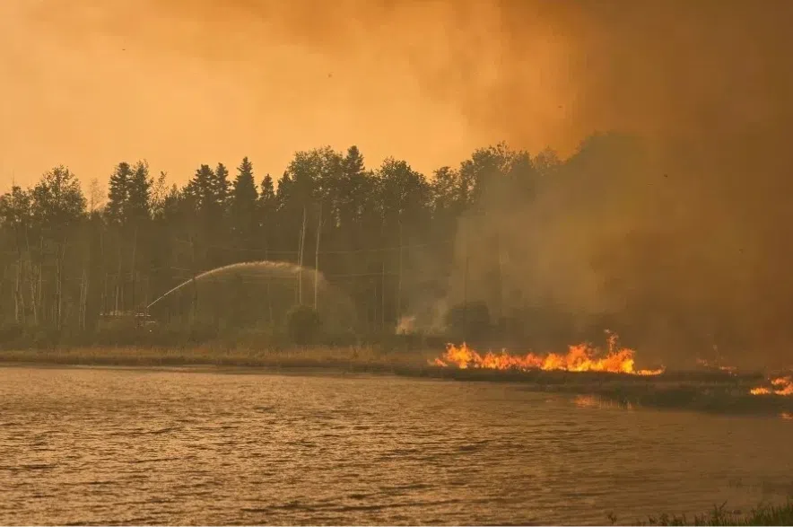
Smokey skies are expected to linger throughout much of Saskatchewan on Wednesday.
Environment Canada issued air quality warnings for almost the entire province from Prince Albert down to the U.S. border, including Regina and Saskatoon on Tuesday.
Meteorologist Eric Dykes said it means the air quality index will be 10+ for most of the day on Wednesday.
“It is noticeable to everyone. It is not the best day for strenuous activity. It’s a good day to stay indoors if you can, and recycle the air within your house,” said Dykes.
“The better air quality day is coming up.”
Read more:
Dykes explained the air quality and reduction in visibility should start to improve by Wednesday night and into Thursday.
“Unfortunately, there’s not a lot of flow in the atmosphere, both at the surface and aloft, to help fumigate this smoke out of the area, so we’re stuck with what we have for the day.”
He said an area of high pressure is coming down from the northwest Wednesday night, pushing out the smoke.
“That is going to allow for somewhat of an easterly, northeasterly flow to help to advect the smoke back towards the west.”
The air quality warning is due to wildfires in northern B.C. and northern Alberta.
Dykes said that some recent rain over the past weekend helped dampen the smoke in northern Saskatchewan.
“The wildfires themselves continue to burn, but the smoke is not being produced as a result of all the cooler temperatures that are over the region right now and in the recent rains.”
Dykes said more rain is on the way for northern Saskatchewan, “but in spits and spurts.”
He said there is shower activity expected on Wednesday in wildfire areas, with a slight chance of some thunderstorms.
“We’re not expecting, thankfully, any severe thunderstorms today (Wednesday) across the north and so even though there will be some lightning, we’re not expecting a lot of it.”
Then, Dykes said it will be dry on Thursday and Friday across the north before more unsettled weather is expected to roll in over the weekend.
“There’s a chance of seeing some showers as we get into Sunday, and it looks like it’s rather unsettled — looking at some models here into early next week as well,” he added.
“So there’s a chance for seeing some shower activity through the latter half of the weekend and early part of next week.”
While Dykes said no heavy rain is expected to fall, shower activity should be on and off over the next week or so.