

Sarah Mills: More money for Canada Post is not the way to go
Sarah Mills says another $1 billion for the public mail carrier is repeating madness and not conducive to the long-term ...
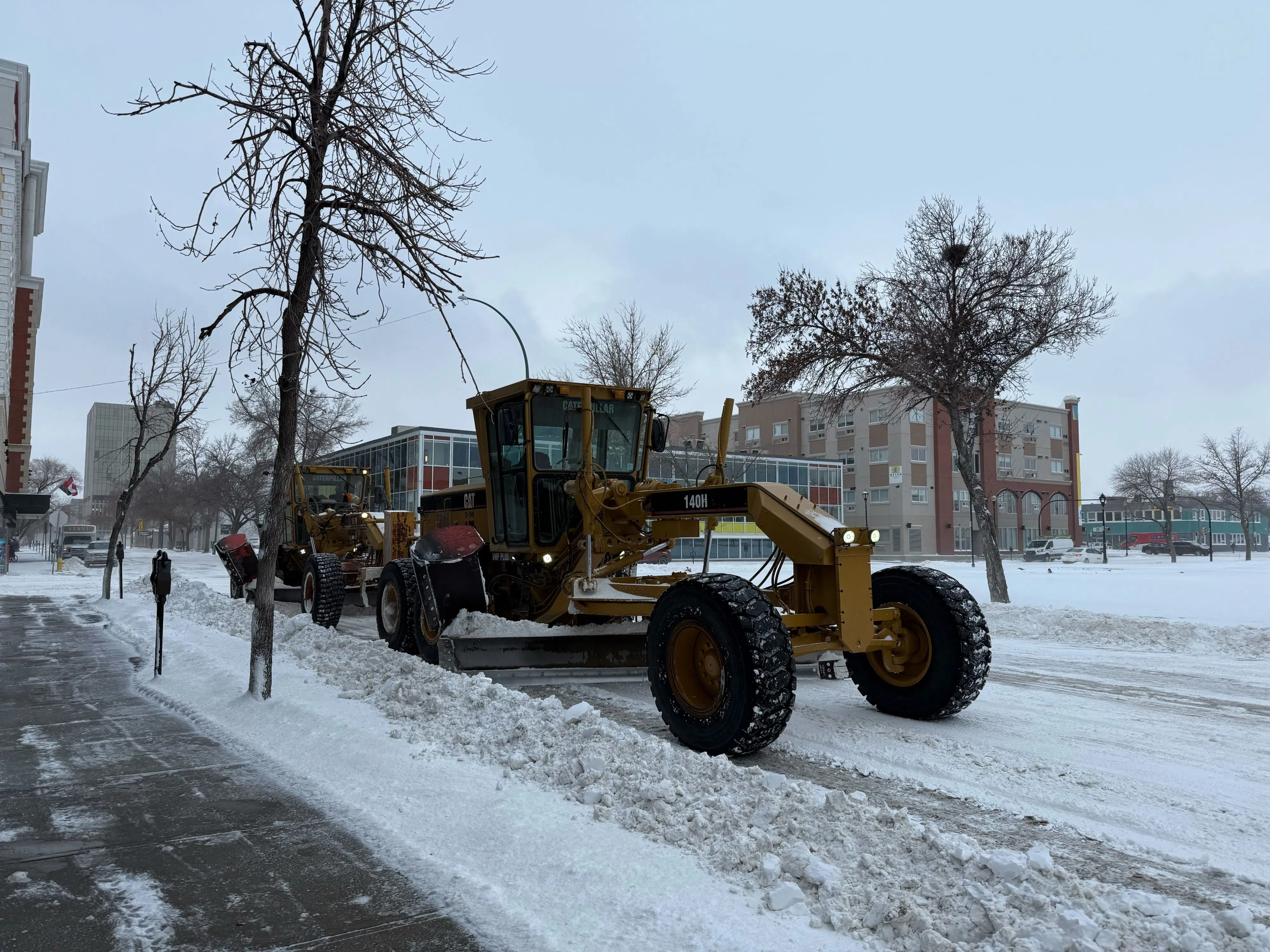
Regina residents now have a new way to see when their streets are expected to be plowed after a snowfall, with the City of Regina launching an interactive snowplow map that shows the progress of clearing across the city.
City officials said the tool was created to address long-standing concerns about transparency in snow removal and to provide residents with clearer, more timely information during winter storms.
Read more:
“The goal was really to try to give more transparency and forecasting for the residents in terms of what the city was doing to clear the roads during the winter event,” said Curtis Hannah, a manager with the City of Regina.
The online map shows where snow-clearing will be plowing, which roads have already been plowed and estimated timelines for when remaining streets are expected to be cleared.
Roads are categorized by priority, starting with major arterial routes such as the Ring Road and Albert Street, then corridor roads, and finally residential streets.
The map also includes estimated times of arrival, or ETAs, for each road category. Those timelines are tied directly to the city’s service level agreements, which outline how quickly different types of roads are expected to be cleared after a winter event begins.
Hannah said the ETAs allow residents to see not only what routes will be plowed, but also whether snow removal is on track.
“This gives you kind of a countdown clock that you can watch and see if the city staff are fulfilling the obligations that we committed to,” he said.
Progress on the map is shown through percentages and countdown timers, indicating how much of each road category has been completed and how much time remains to meet the city’s targets.
The system is updated as crews work through a storm.
Snow plow operators use tablets inside their equipment to mark roads as plowed once work is completed. When that information is entered, the map updates automatically, giving what the city described as “near real-time” information.
Beyond public visibility, the map was also used internally by city staff. Supervisors monitor snow-clearing progress across Regina and can reassign crews if specific areas are falling behind, helping improve efficiency during large or rapidly changing winter storms.
City officials said the snowplow map is part of the city’s broader roadways and transportation strategy, which focuses on using technology to improve operations and public engagement.
The map also allows residents to search specific streets, view ward-level snow-clearing metrics and submit service requests tied directly to an active winter event.
City officials said they hope the new tool will help reduce confusion, manage expectations, and give residents a clearer understanding of how snow-removal decisions were made throughout the winter.
Read more: