


Sarah Mills: Left-lane hoggers are everywhere
Passing lanes allow a faster driver to pass another vehicle. But Sarah Mills says it seems the left-lane hoggers have es...
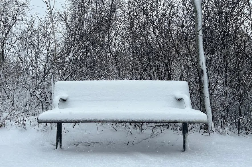
It’s time to trade in the T-shirts for hoodies. Winter is arriving on the Prairies.
A special weather statement was issued Thursday morning for a massive swath of northern Saskatchewan.
It’s calling for a significant fall storm beginning Friday night and continuing through Saturday.
Read more:
The advisory stretches from the Northwest Territories border south, covering much of northern Saskatchewan before ending at Cumberland House.
The storm is expected to bring rain that will gradually change to snow.
Environment Canada is forecasting snowfall amounts ranging from 25 to 50 centimetres, or one to two feet.
Some of the areas expected to bear the brunt of the storm include Cree Lake–Key Lake, Uranium City–Camsell Portage, Fond-du-Lac–Stony Rapids and Wollaston Lake–Collins Bay.
Janelle Gergely, a meteorologist with Environment Canada, says the snow will likely stick around.
“There is some uncertainty about how much initial snowfall will melt, but it is anticipated that it will accumulate, and there will be significant amounts by the time it moves out,” she said.
When it comes to travelling in the North this weekend, Gergely said it might be best to avoid it.
“I would try to possibly alter your travel plans, especially on Saturday, and that’s when that cool air really sets in, and we’re going to see significant snowfall as well as the wind. So the winds are going to be able to blow that snow around, causing reduced visibility on the roads through much of northern Saskatchewan,” she said.
“Farther south, where we’re expecting maybe more rain or perhaps some mixed precipitation, it won’t be as bad for visibility, but there will still be strong winds, and I don’t anticipate it would be great travel conditions there either,” Gergely said.
That storm is expected to move out of the province late Saturday.
But while one area is getting snow, that doesn’t mean the other is out of the woods.
Temperatures are expected to plummet over the next few days provincewide, dropping from double digits to single digits.
Gergely said it’s all thanks to a mass of cold air moving in with the storm.
“That’s going to bring us back down to seasonal or even below seasonal temperatures for the remainder of the forecast, and looks like to be into the end of the month,” she said.
On top of the chilly temperatures, southern Saskatchewan will see a little more from this storm.
“Rain showers are going to move through, and temperatures are going to plummet in those overnight hours. There is a chance you might see some snow mix in with that. But right now, we’re expecting primarily rain,” she said.
“The system is also going to bring winds. So starting Friday afternoon, you’re going to start seeing the winds pick up, and those are going to continue through much of the day Saturday. So Saturday won’t really be quite a nice day either,” Gergely said.
Any snow that falls during this week’s storm in southern Saskatchewan isn’t expected to accumulate and should melt once it hits the ground.
Environment Canada issued two wind warnings for parts of Saskatchewan on Friday.
In parts of Alberta and Saskatchewan, “Damaging winds are expected. Strong northwesterly winds gusting up to 90 km/h will develop Friday morning and diminish Friday afternoon,” according to Environment Canada.
The warning covers the west-central portion of Saskatchewan, including Lloydminster and surrounding areas.
Friday afternoon, the southwest corner of Saskatchewan will also see strong winds. According to a statement from Environment Canada, “Strong northerly winds of 60 km/h gusting up to 100 km/h over the Cypress Hills are expected Friday afternoon.”
The warning covers Maple Creek, Shaunavon and surrounding areas.
“Winds will ease Friday night. Strong winds will continue to push east throughout Friday evening and begin to affect the rest of southern Saskatchewan. Local utility outages are possible. Driving conditions will likely be difficult,” the statement read.
In both cases, Environment Canada recommends securing loose objects to prevent damage during the storm.